Machu Picchu 3D terrain model
Peru
About this model
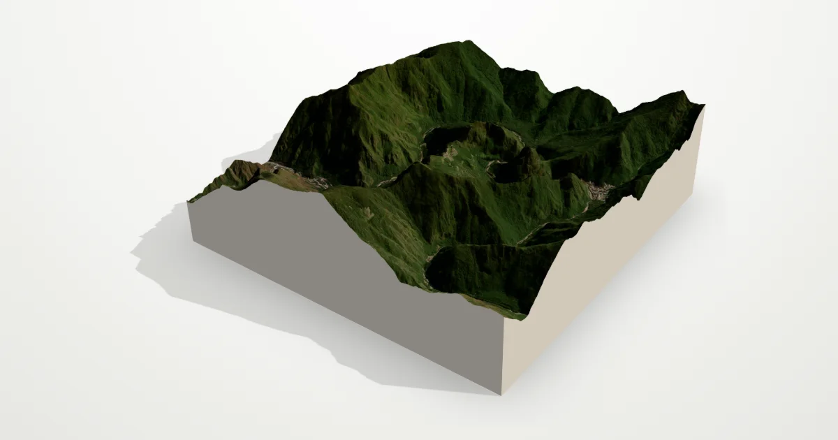
The Inca citadel sits on a ridge between the peaks of Machu Picchu and Huayna Picchu, about 450 m above a tight loop of the Urubamba River. In 3D the gorge around it shows how naturally defended the site is.
The frame is 6.0 km across, centred on 13.1631° S, 72.5450° W. Open it in the editor to change the style, exaggerate the height, turn it into a circle, or move the frame — then download it for your 3D printer, as a poster or as a 360° video.
Elevation
- Highest point
- 3,242 m10,636 ft
- Lowest point
- 1,747 m5,732 ft
- Relief
- 1,495 mtop to bottom
- Average height
- 2,331 macross the frame
- Area
- 6.0 × 6.0 km36 km²
- Highest point at
- 13.1900° S, 72.5456° Wfrom the elevation data
Measured on the same elevation grid as the model (Terrain Tiles, AWS Open Data). Summit heights can read a little lower than surveyed ones because each sample averages a small area.