Map to STL: turn real terrain into a print-ready file
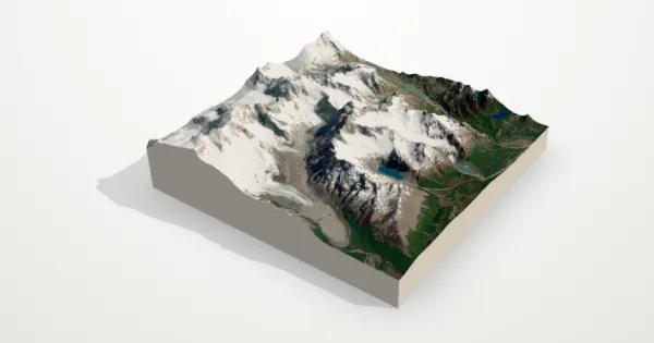
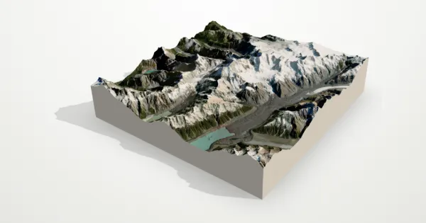
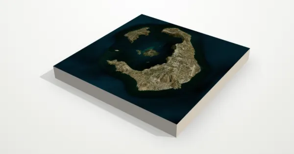
Drag the map, watch the terrain rise in 3D and download it as an STL. No GIS skills and no mesh repair: the file is a clean solid, sized in millimetres.
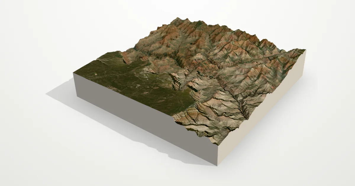
From any map to an STL
Frame it
Search for a place or drag and zoom the map. Frames run from 400 m to 250 km across.
Check it in 3D
Turn the model, raise the height, set the base and pick a square or round shape before you download.
Download the STL
Choose the width in millimetres, split it into tiles if your bed is small, and download.
What’s in the STL
- The terrain surface, from real elevation data (about 30 m per sample in most places, finer where national lidar exists).
- A flat base, 1 to 50 mm thick, closed on every side: a watertight solid with no holes or flipped faces.
- Real proportions in millimetres. The print dialog shows the scale, for example 1 mm = 60 m.
- Optional tiles (2 × 2, 3 × 3 or 4 × 4) that fit small printers and line up edge to edge.
- Text engraved underneath: “tinytopo.com” on the Free plan, or two lines of your own on Pro and Maker.
Terrain only
The model is the shape of the land: mountains, valleys, coastlines. Buildings, roads and trails aren’t part of the mesh. The satellite or topo map colours go on the textured GLB, the posters and the videos, and the STL is the bare terrain, ready for any filament.
If you’ve used other terrain tools
If you know tools like Terrain2STL or TouchTerrain, Tiny Topo will feel familiar: frame an area, get an STL. Here you see the model, its height and its base in 3D before you download, and the same model also makes posters, 360° videos and textured GLB files.
Questions
Does the STL include buildings or roads?
No. It’s terrain only: the shape of the land from elevation data. Coloured imagery goes on posters, videos and the textured GLB.
How big is the model?
You choose the width, from 20 to 1,200 mm; the height follows the terrain and the exaggeration. Big prints can be split into up to 4 × 4 tiles.
Will the file need repairs?
No. Files are built on our servers as watertight solids with no holes or flipped faces, so they slice straight away.
Can I get 3MF or GLB?
Yes, with Pro, Maker or a Print Pack. STL comes with every plan, including one free STL each month.
Is it free?
Building and previewing models is free, and so is one STL a month at Standard detail (sign in with Google). Pro adds High detail, 3MF, GLB and your own text. See pricing.