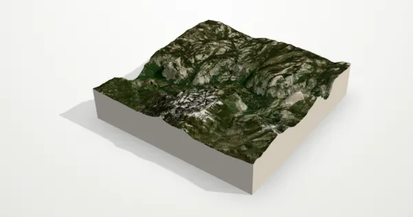
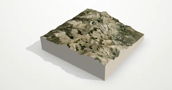
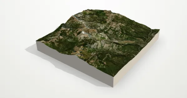
Mammoth Mountain 3D terrain model
California, USA
About this model
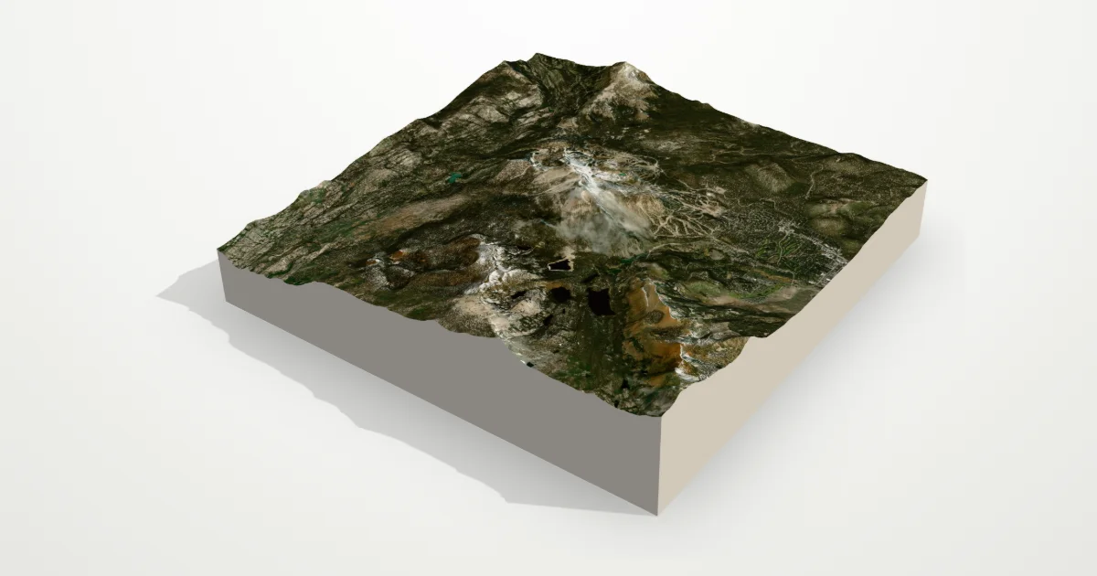
A lava-dome complex on the eastern edge of the Sierra Nevada, Mammoth Mountain tops out at 3,369 m, high enough for one of the longest ski seasons in California. The Mammoth Lakes basin lies at its feet.
The frame is 12 km across, centred on 37.6308° N, 119.0326° W. Open it in the editor to change the style, exaggerate the height, turn it into a circle, or move the frame — then download it for your 3D printer, as a poster or as a 360° video.
Elevation
- Highest point
- 3,450 m11,319 ft
- Lowest point
- 2,015 m6,611 ft
- Relief
- 1,435 mtop to bottom
- Average height
- 2,667 macross the frame
- Area
- 12 × 12 km144 km²
- Highest point at
- 37.5836° N, 118.9656° Wfrom the elevation data
Measured on the same elevation grid as the model (Terrain Tiles, AWS Open Data). Summit heights can read a little lower than surveyed ones because each sample averages a small area.