Aoraki / Mount Cook 3D terrain model
New Zealand
About this model
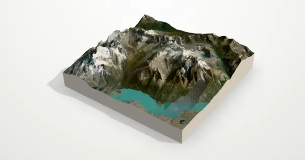
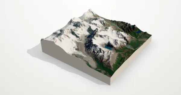
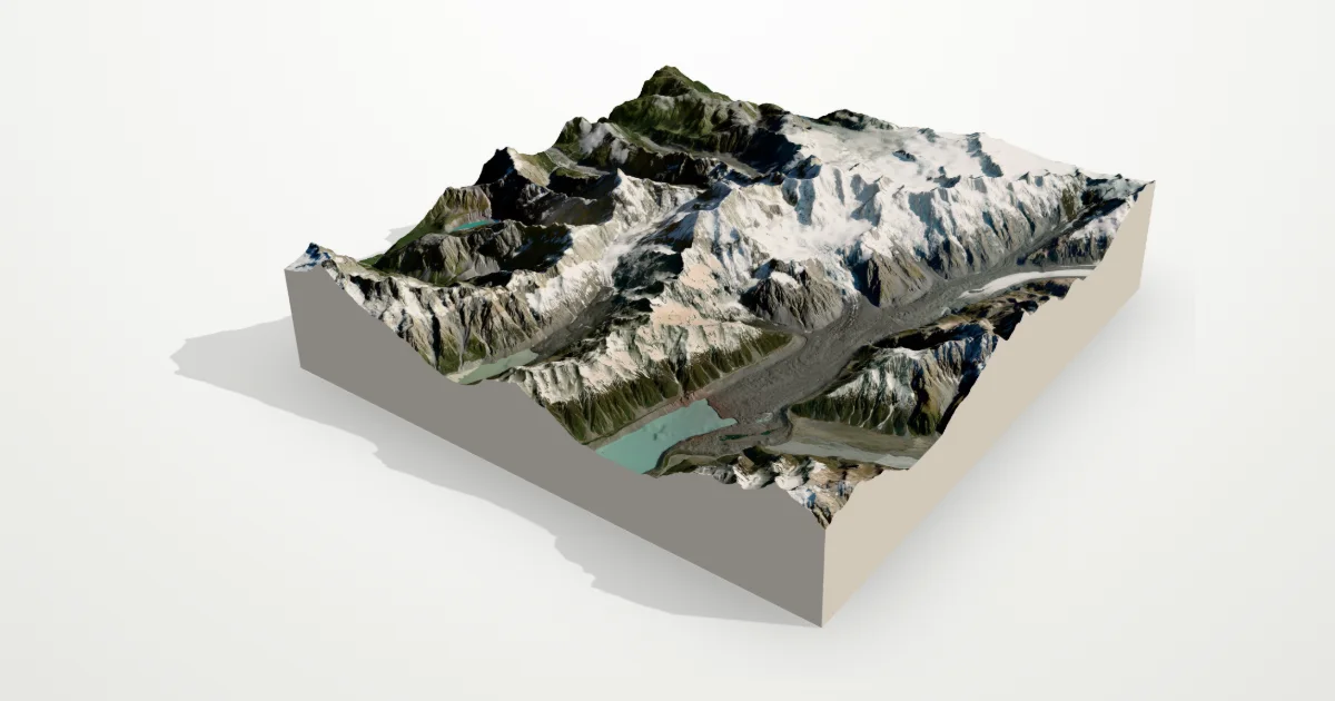
New Zealand’s highest peak (3,724 m) in the Southern Alps, flanked by the Tasman and Hooker glaciers. Long ice-filled valleys and sharp ridges give this model a strong sense of scale.
The frame is 20 km across, centred on 43.5950° S, 170.1418° E. Open it in the editor to change the style, exaggerate the height, turn it into a circle, or move the frame — then download it for your 3D printer, as a poster or as a 360° video.
Elevation
- Highest point
- 3,719 m12,201 ft
- Lowest point
- 372 m1,220 ft
- Relief
- 3,347 mtop to bottom
- Average height
- 1,697 macross the frame
- Area
- 20 × 20 km400 km²
- Highest point at
- 43.5950° S, 170.1418° Efrom the elevation data
Measured on the same elevation grid as the model (Terrain Tiles, AWS Open Data). Summit heights can read a little lower than surveyed ones because each sample averages a small area.