Ben Nevis 3D terrain model
Scotland, UK
About this model
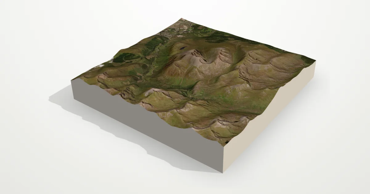
The highest mountain in the British Isles (1,345 m) rises above Fort William and Glen Nevis. Its great north face of cliffs and gullies, and the glen curving around it, give the model more drama than its height suggests.
The frame is 12 km across, centred on 56.7969° N, 5.0036° W. Open it in the editor to change the style, exaggerate the height, turn it into a circle, or move the frame — then download it for your 3D printer, as a poster or as a 360° video.
Elevation
- Highest point
- 1,329 m4,360 ft
- Lowest point
- -1 ma lake bed, below sea level
- Relief
- 1,330 mtop to bottom
- Average height
- 503 macross the frame
- Area
- 12 × 12 km144 km²
- Highest point at
- 56.7966° N, 5.0021° Wfrom the elevation data
Measured on the same elevation grid as the model (Terrain Tiles, AWS Open Data). Summit heights can read a little lower than surveyed ones because each sample averages a small area.