Kirkjufell 3D terrain model
Iceland
About this model
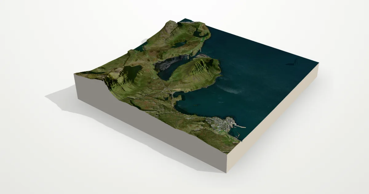
Iceland’s “Church Mountain” on the Snæfellsnes peninsula: a steep, almost conical 463 m peak standing alone by the fjord beside the town of Grundarfjörður.
The frame is 6.0 km across, centred on 64.9419° N, 23.3061° W. Open it in the editor to change the style, exaggerate the height, turn it into a circle, or move the frame — then download it for your 3D printer, as a poster or as a 360° video.
Elevation
- Highest point
- 752 m2,467 ft
- Lowest point
- -34 mbelow sea level
- Relief
- 786 mtop to bottom
- Average height
- 76 m29% of the frame is sea
- Area
- 6.0 × 6.0 km36 km²
- Highest point at
- 64.9150° N, 23.3396° Wfrom the elevation data
Measured on the same elevation grid as the model (Terrain Tiles, AWS Open Data). Summit heights can read a little lower than surveyed ones because each sample averages a small area.